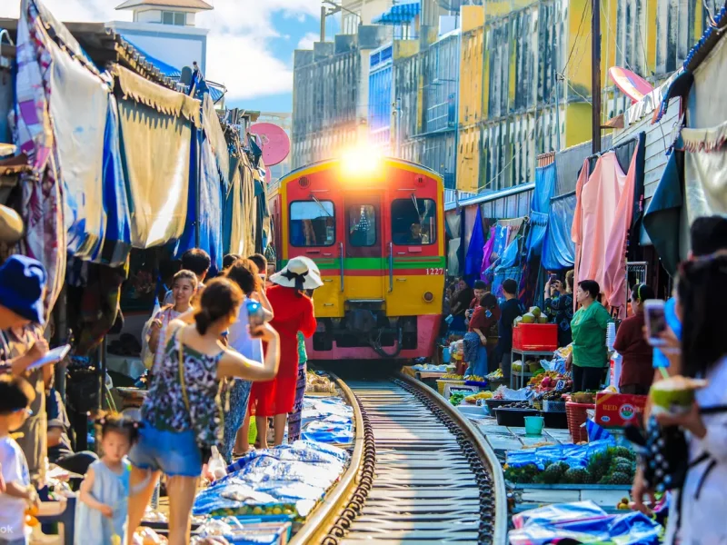
After spending a few days in Bangkok, a trip to Krabi Town is an excellent choice for your next vacation location. You will be removed from the hustling and busy metropolitan life of the nation’s capital and sent to a location that gives you access to the country’s beaches, woods, and temples. In addition to that, it offers fantastic prospects for diving. Krabi is found on southern Thailand’s west coast, around 270 kilometres to the southwest of Bangkok. If you are interested in learning how to get there, continue reading this page, as it will provide you with information on all of the accessible transportation alternatives.
How to go from Bangkok to Krabi?
Because Krabi has its own airport, flying there via direct flight is an option that may be pursued. On the other hand, no railway line goes there that is considered to be direct. If you want to travel by this mode of transportation, you will be required to transfer to a bus at an intermediate stop. There is also the option of taking a direct bus from Bangkok. Following is an in-depth look at all the potential routes you may take to travel from Bangkok to Krabi, allowing you to pick the one that caters to your schedule and finances the most effectively.
Transportation to go from Bangkok to Krabi:
- Plane – This is the best choice due to the long distance between Bangkok and Krabi.
- Train + Bus – This option is indirect, so if you want to travel by train, you have no choice but to transfer to a bus.
- Bus – This is the cheapest option.
- Car – This is an option if you like to drive for long hours on the highway.
How to go to Krabi by plane
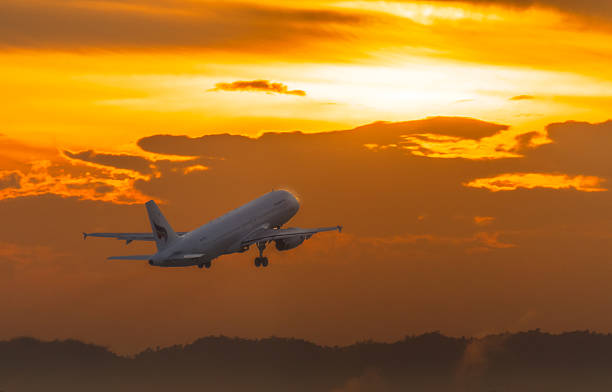
There are regular flights between the two cities every day on a number of national airlines. Bangkok Airways, Thai Airways, Thai Lion Air, and Nok Air are some of the airlines that fly this route. Some flights leave from both airports in Bangkok. Look at what each one has to offer and choose the one that works best for you based on price and where you are in the city. Keep in mind that airport traffic can be very bad, so if you want to get to your flight in peace, we suggest you leave early.
- Distance: Approximately 650 kilometers in a straight line.
- Duration: 1 hour and 30 minutes.
- Precio: 1700 – 2500 baths.
- Departure area: Suvarnabhumi International Airport or Bangkok Don Muang Airport.
How to go to Krabi by train + bus
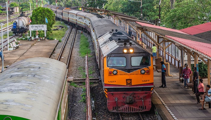
Krabi doesn’t have a train station, so you can’t get there straight from the train. But if you want to combine trips, you can get on the train at Bangkok’s Hua Lamphong station and get off at Surat Thani station. From here, you can take a bus to the Surat Thani bus station and then another bus to get to Krabi. You can buy a ticket at the station that works for both the train and the bus all the way to Krabi. We suggest that you make a reservation ahead of time.
- Distance: From Bangkok to Surat Thani, it’s about 700 km, and from Surat Thani to Krabi, it’s just over 100 km.
- Duration: Surat Thani is about 8 hours and 45 minutes away by train, and Krabi is about 3 hours away by bus.
- Price: 960 – 1500 baht, depending on whether you choose 2nd or 1st class.
- Departure area: Bangkok Hua Lamphong Train Station.
How to go to Krabi by bus
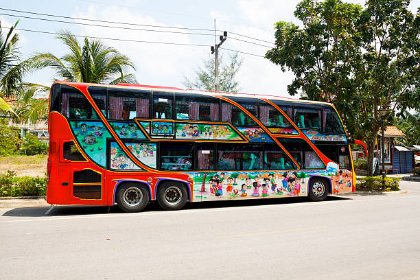
If you are on a tight budget, this is your best choice because it is the cheapest, but you will have to spend half a day sitting on a bus. The South Bus Terminal is where air-conditioned buses leave in the afternoon. It takes about 12 hours to get to Krabi.
- Distance: About 770 kilometers.
- Duration: Approximately 12 hours.
- Price: Around 920 baht.
- Departure area: Bangkok South Bus Terminal (Sai Tai Mai).
How to go to Krabi by car
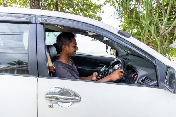
The trip is long, so this method is only good for people who love to drive on the highway, since it can get a little tiring. The good thing about it is that you can stop along the way to take pictures of interesting landscapes or to eat, discover new places, stay in a hotel for the night, etc. If you choose this option, you should bring a map or GPS to avoid getting lost.
- Distance: 782.5 kilometers by highway 4.
- Duration: 9 hours and 30 minutes approximately.
- Price: Not determined.
- Starting area: Not determined.

- My Caffeinated Journey: The Top 8 Best Coffee Shops in Bangkok - September 11, 2023
- My Encounter with Thailand’s Black and White Striped Snakes - September 2, 2023
- The Koh Samui Island Tour - July 24, 2023